Earth environmental monitoring / Program update
Arbor connects coastlines with the field record
The Arbor program connects repeat observations with the physical conditions measured at a site.
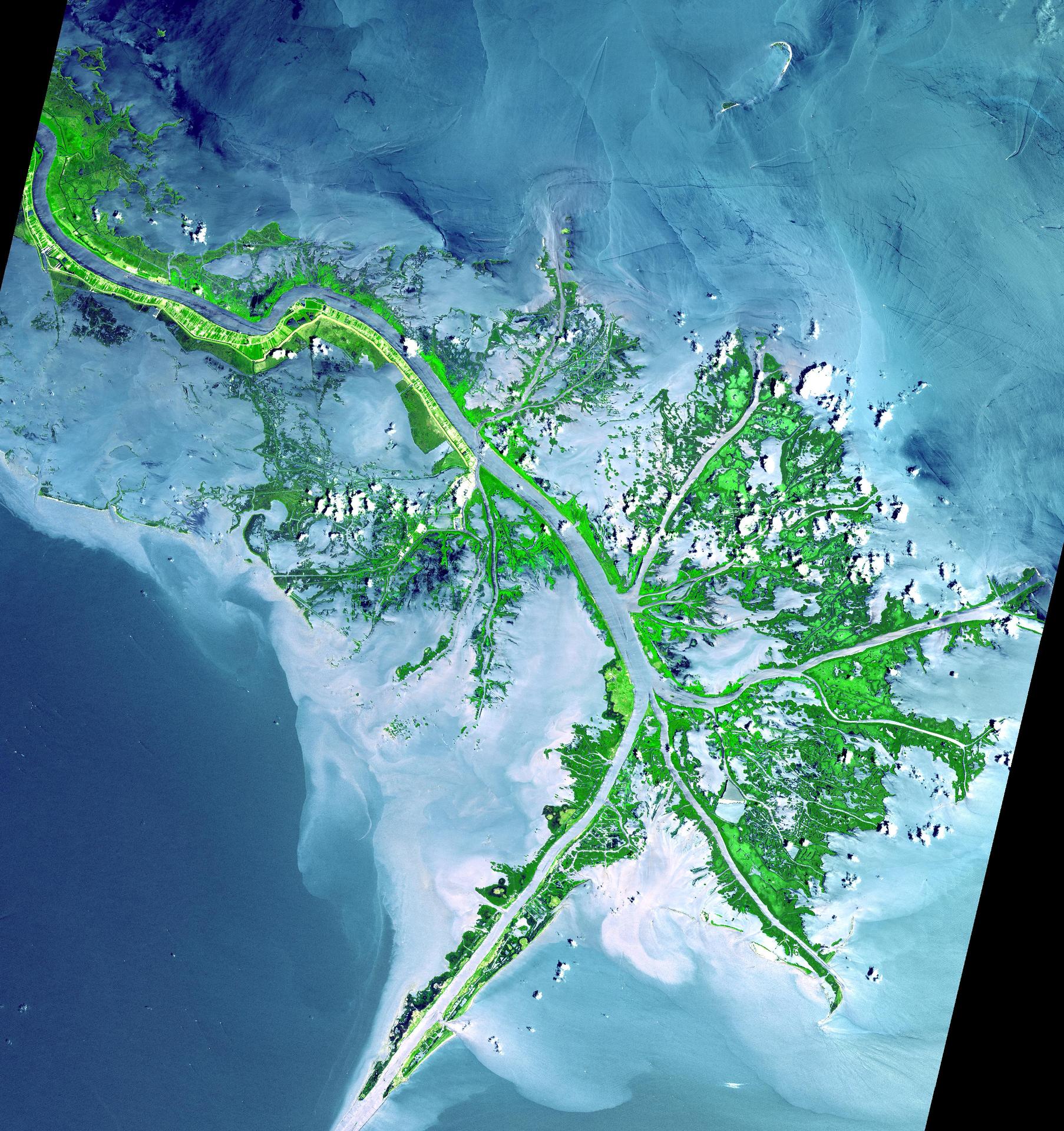
NASA/JPL heritage imagery · Mississippi River Delta, Terra/ASTER · Image credits
Observe a place, not just an image
Repeated imagery can show a coastline changing. Interpretation needs water-level information, viewing geometry and the conditions under which the image was collected. A field record helps separate physical change from a difference in the observation.
Coordinated with the Nairobi and Singapore offices, Arbor supports teams in documenting sites and comparison methods. A measurement at one site cannot establish the accuracy of an entire image.
Preserve continuity
Equipment replacement and processing changes can introduce breaks in a record. The program preserves transition information so future users can assess which comparisons remain valid.
The work contributes to environmental monitoring and common standards used elsewhere in the Foundation. Its value depends on sustained observation and the context surrounding each result.